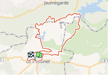
le tour des trois barrages

amiral13
User GUIDE

Length
11.6 km

Max alt
374 m

Uphill gradient
372 m
Km-Effort
16.6 km

Min alt
180 m

Downhill gradient
377 m
Boucle
Yes
Creation date :
2023-04-23 08:25:07.823
Updated on :
2023-04-23 12:30:07.401
4h01
Difficulty : Very easy

FREE GPS app for hiking
 SityTrail
IGN / Geographical institutes
SityTrail Plus
The world is yours!
About
Trail Walking of 11.6 km to be discovered at Provence-Alpes-Côte d'Azur, Bouches-du-Rhône, Le Tholonet. This trail is proposed by amiral13.
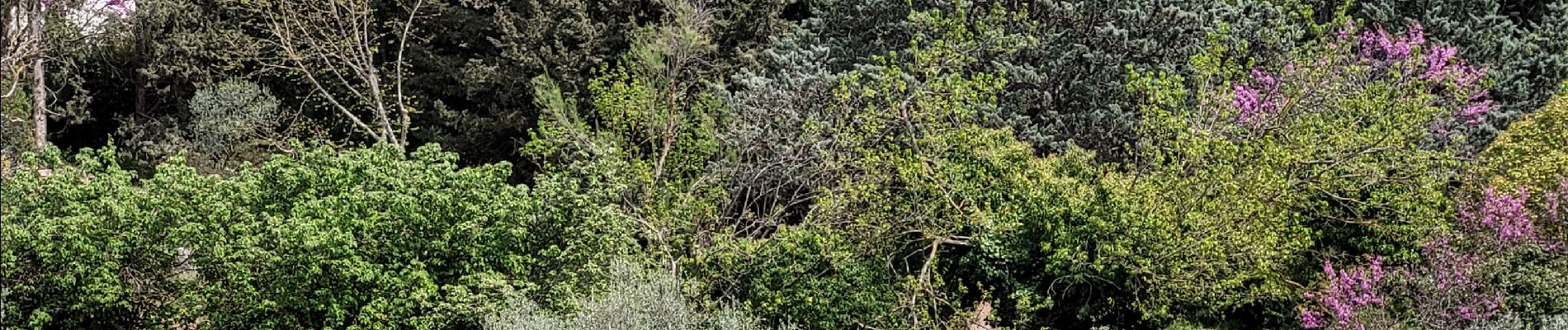
Photos


29 photos in total. Please click on a photo to see them all in the gallery.
Positioning
Country:
France
Region :
Provence-Alpes-Côte d'Azur
Department/Province :
Bouches-du-Rhône
Municipality :
Le Tholonet
Location:
Unknown
Start:(Dec)
Start:(UTM)
702884 ; 4821817 (31T) N.
Comments